History & archaeology
A place made over generations
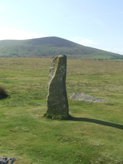
The circle probably once contained about thirty stones; roughly half remain visible. Its exposed position makes the surrounding hills a dominant part of the experience.
The surviving stones define a circle about 27 metres across. Their varied heights and incomplete survival make the original design difficult to reconstruct in detail.
Stories, beliefs & mysteries
Meaning through time
Its elevated setting and broad horizons suggest a place intended for communal gathering, but no particular ceremony or astronomical scheme can be demonstrated.
A local story tells of a magic cow whose endless milk saved people during famine. A witch milked her into a sieve and was turned to stone as punishment.
Plan a visit
Walk gently into the landscape
Park only in the signed area near the end of the track, then walk roughly 300 metres across exposed grazing land. Keep dogs on leads around livestock.
Do not climb, move stones, light fires or leave offerings. Follow current access signs and take everything home.
Sources & further reading
Follow the evidence
English HeritageMitchell's Fold Stone Circle↗This introductory record was last reviewed in August 2026. Access details can change; consult the site manager before travelling.
The marker shows the monument, not a parking space. A postcode is only a navigation aid; check current access and parking information before travelling.